


Every journey featured in the Across America series is built around an interstate road trip that I have personally experienced. Rather than simply highlighting destinations, I hope to offer a practical and comprehensive guide that helps you plan your journey from A to Z, especially if this is your first road trip in the United States.
Each article I wrote on Quite A Lens includes a detailed itinerary, preparations to consider before, during, and after the trip, must-see stops, accommodation suggestions, estimated expenses, tips for choosing the right vehicle, ways to save on admission fees, and other useful notes to help make your journey smoother, safer, and more enjoyable.
I hope the experiences shared throughout this series will save you time in planning, help you avoid unnecessary risks, and give you greater confidence as you explore the United States along some of its most scenic roads.
DISCLAIMER
- This article is based on personal experience and information available at the time of writing. Its content is intended for general reference only and should not replace your own research, verification, or personal judgment.
- Travel conditions can vary significantly depending on the weather, traffic, local regulations, health considerations, driving experience, and other unforeseen circumstances. I cannot determine whether a particular itinerary is suitable for every traveler, nor can I anticipate every situation that may arise along the way. You are solely responsible for your own decisions, actions, and safety, as well as the safety of those traveling with you. Before setting out, always consult the latest information from official sources and carefully assess your health, current travel conditions, and personal abilities before making any decisions.
PART 1: ROUTE, INTENDED TRAVELERS, THEME, AND TIMING
1.1. The Route
Los Angeles → Grand Canyon National Park → Page (Horseshoe Bend and Antelope Canyon) → Monument Valley → Mesa Verde National Park → Moab (Arches National Park and Canyonlands National Park) → Capitol Reef National Park → Bryce Canyon National Park → Zion National Park → Los Angeles.
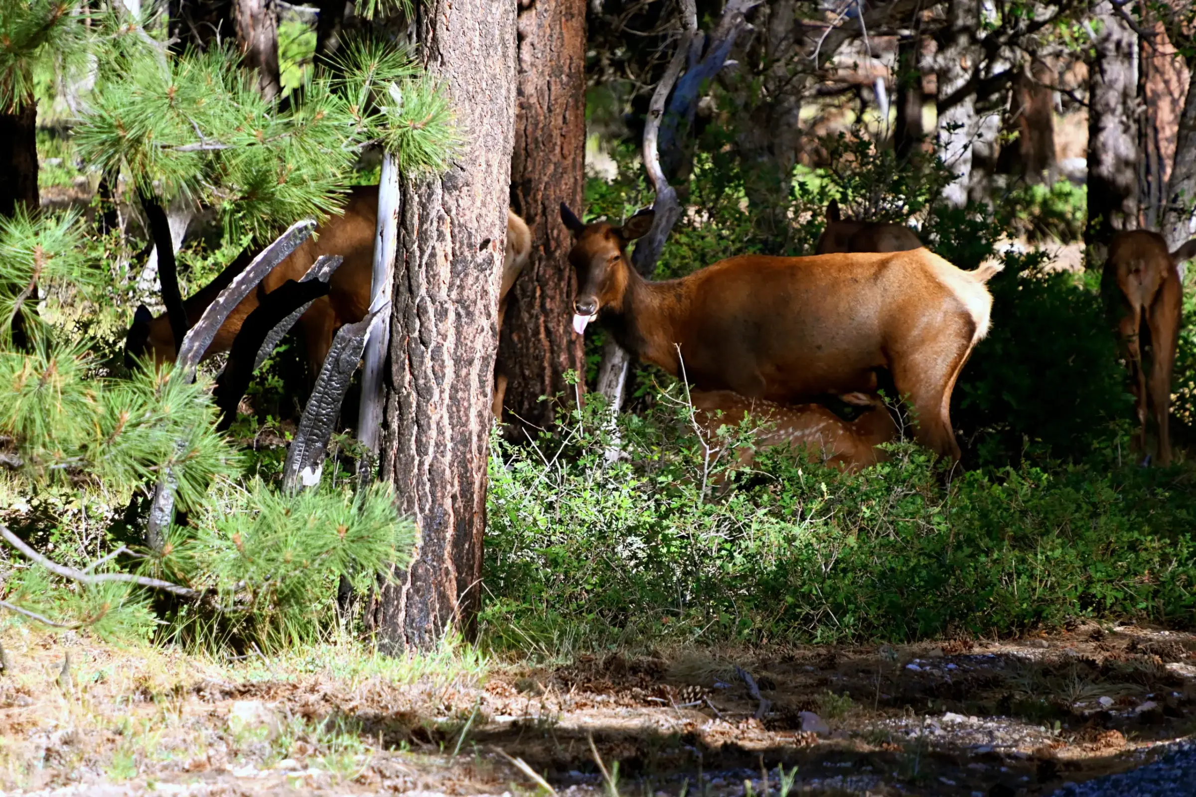
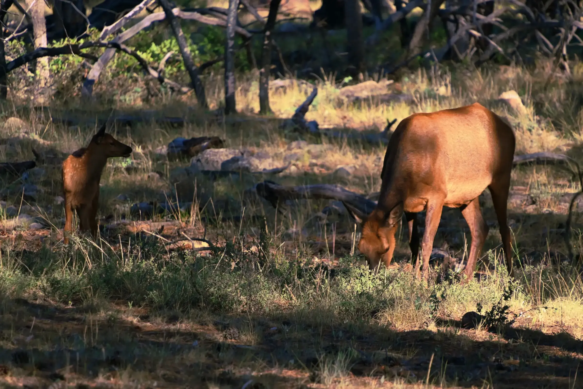
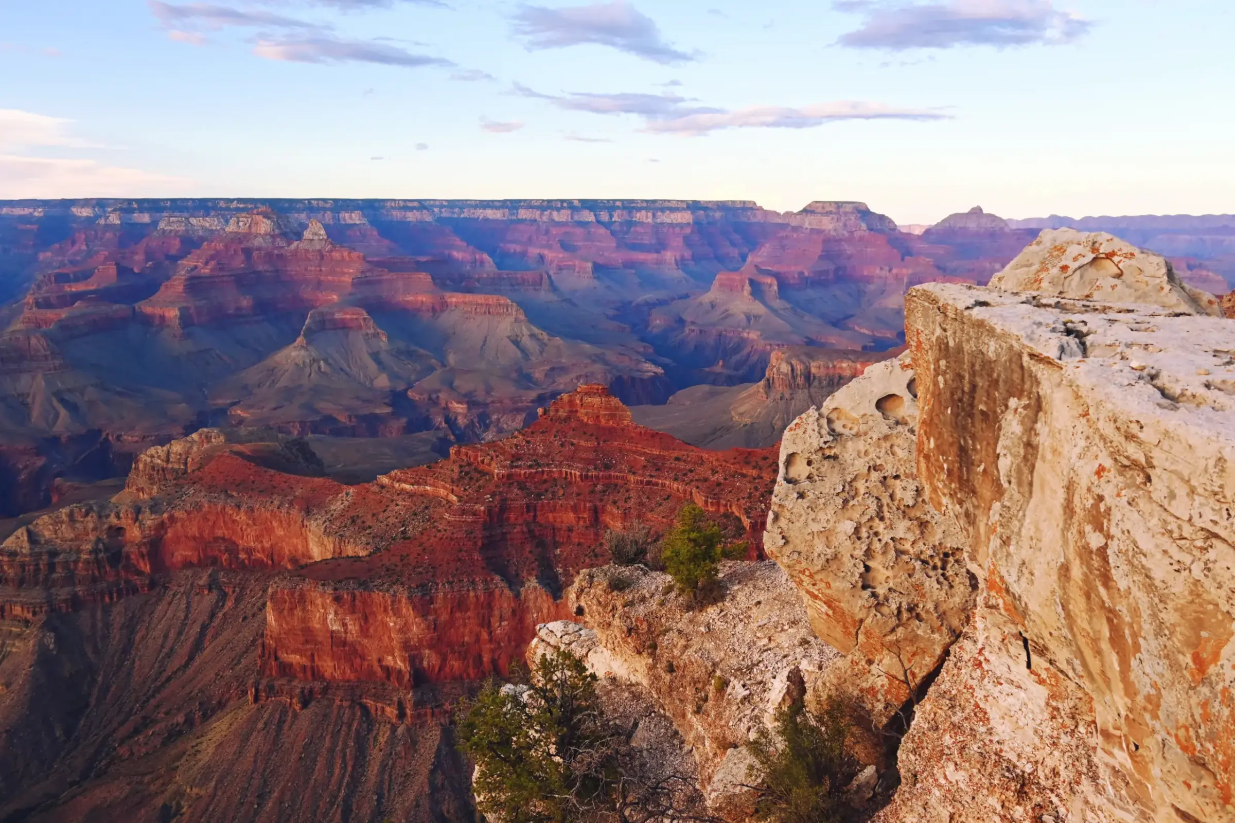
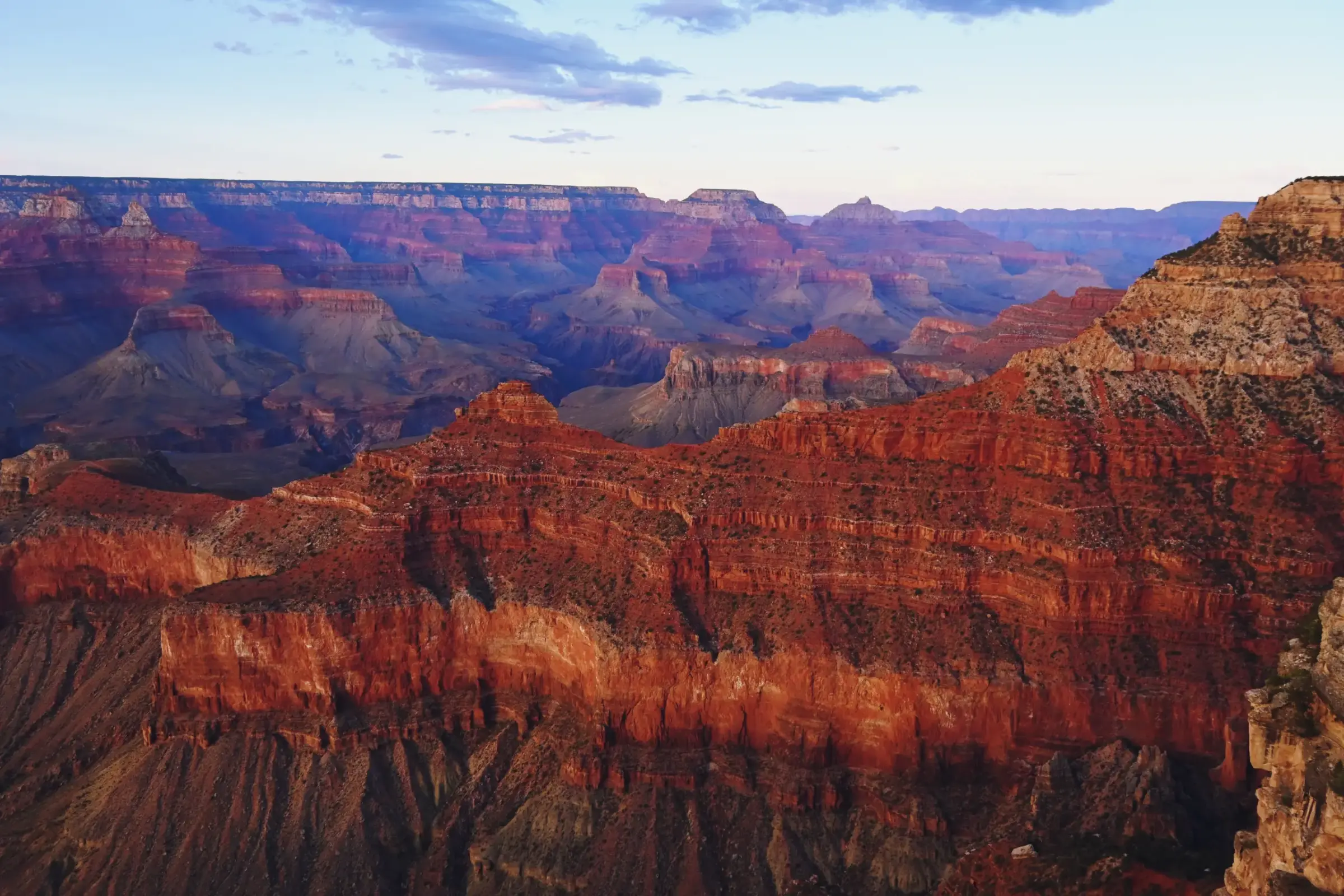
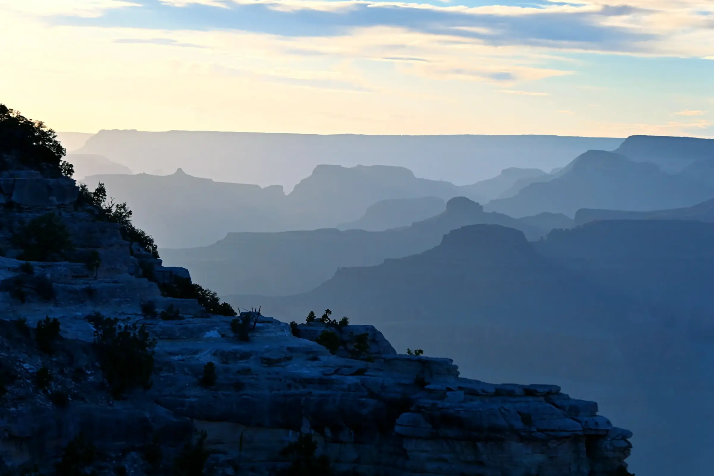
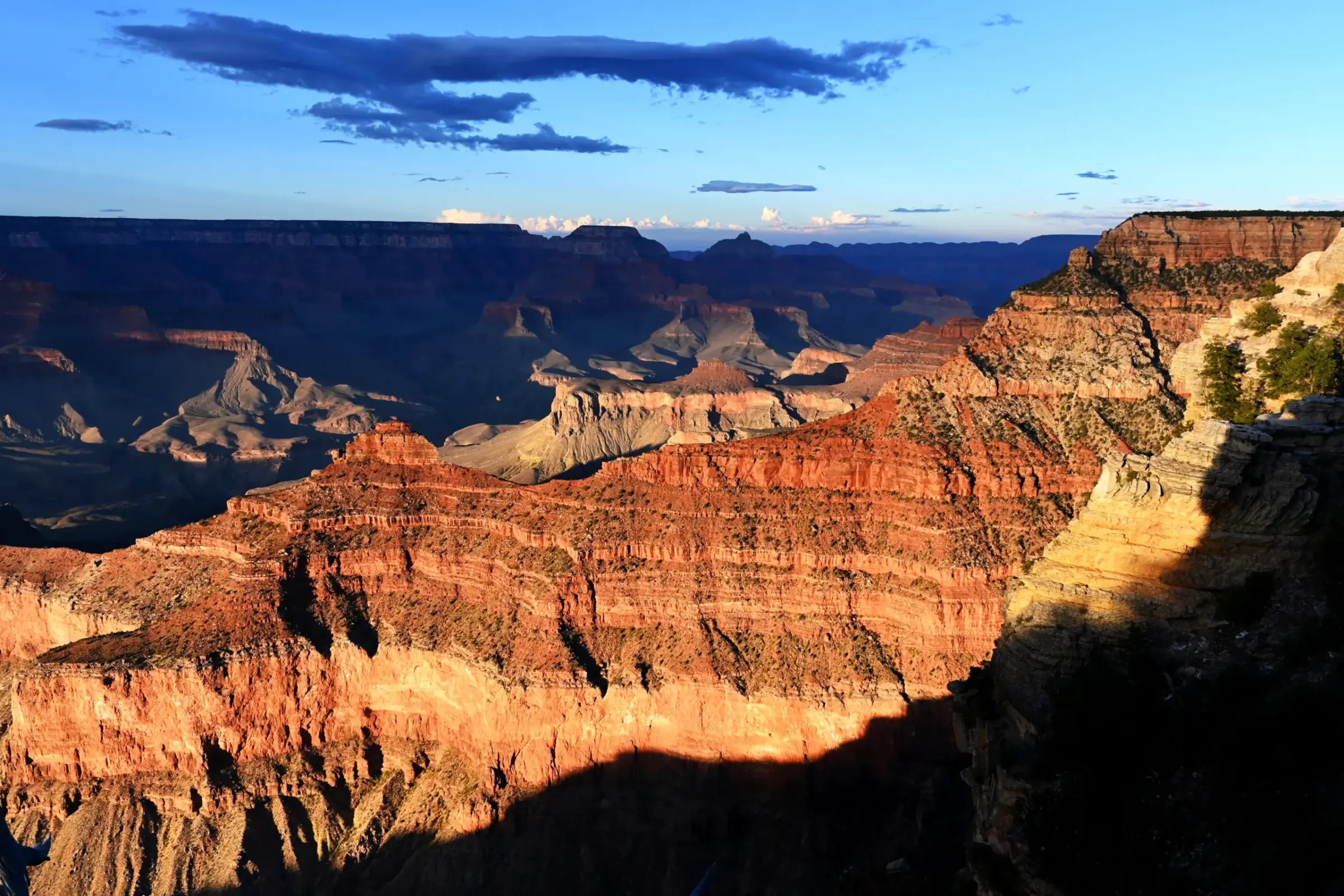
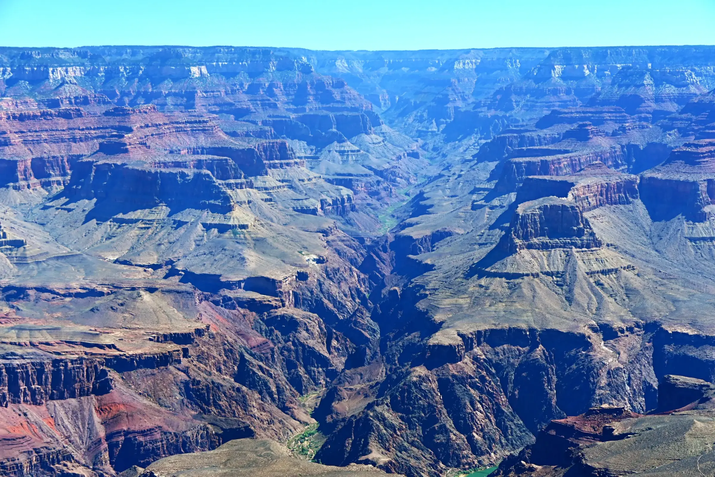
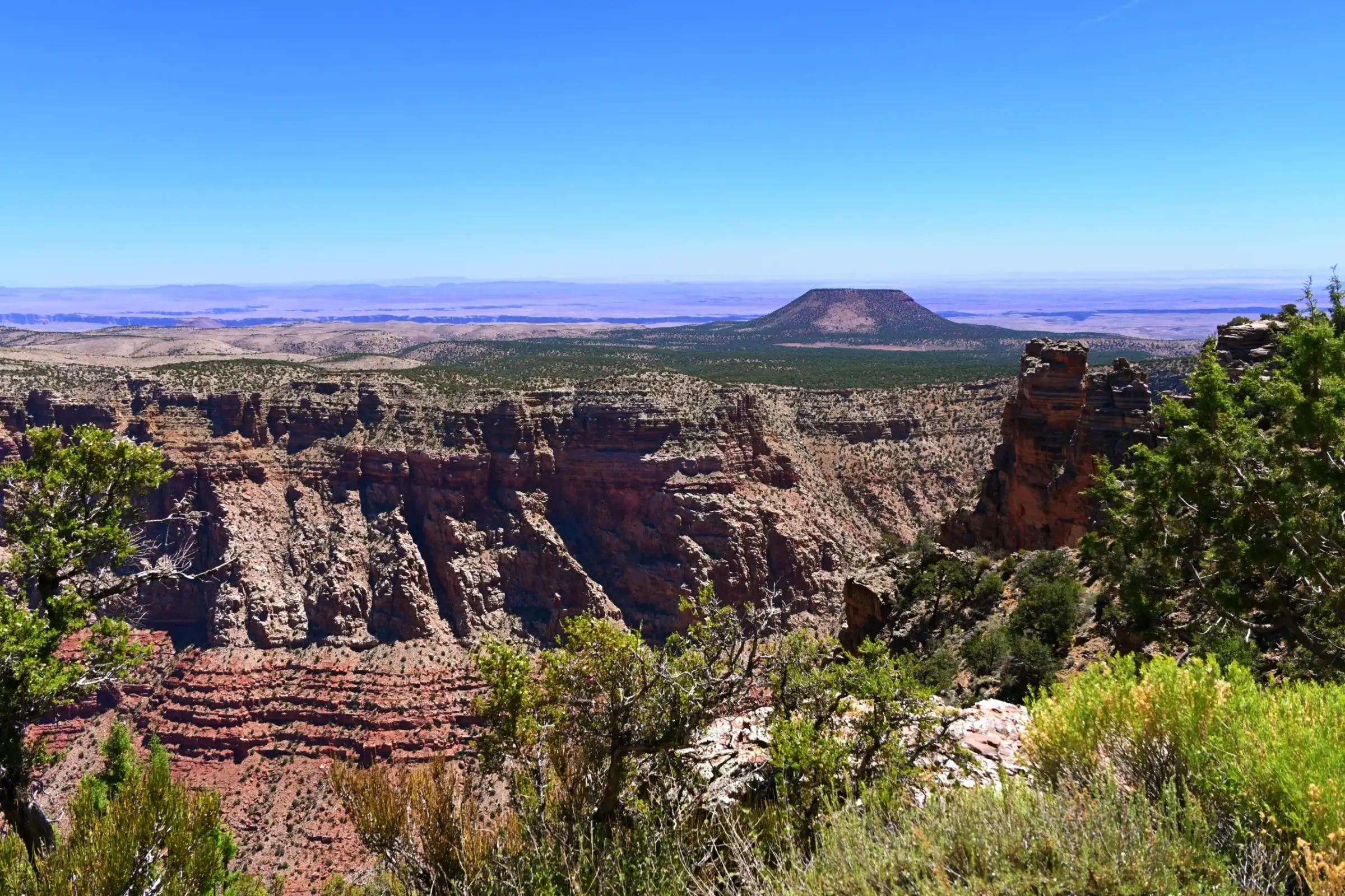
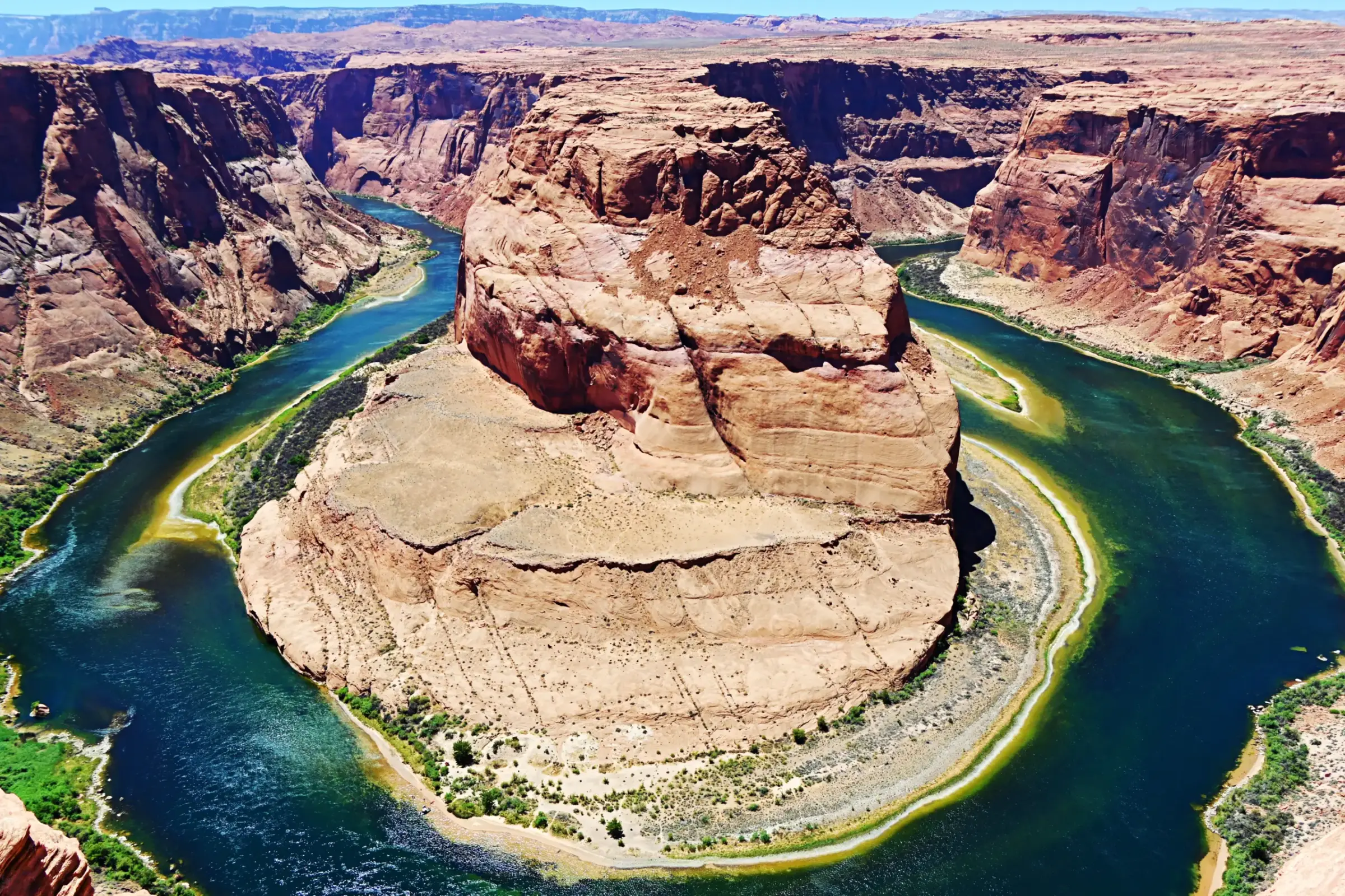
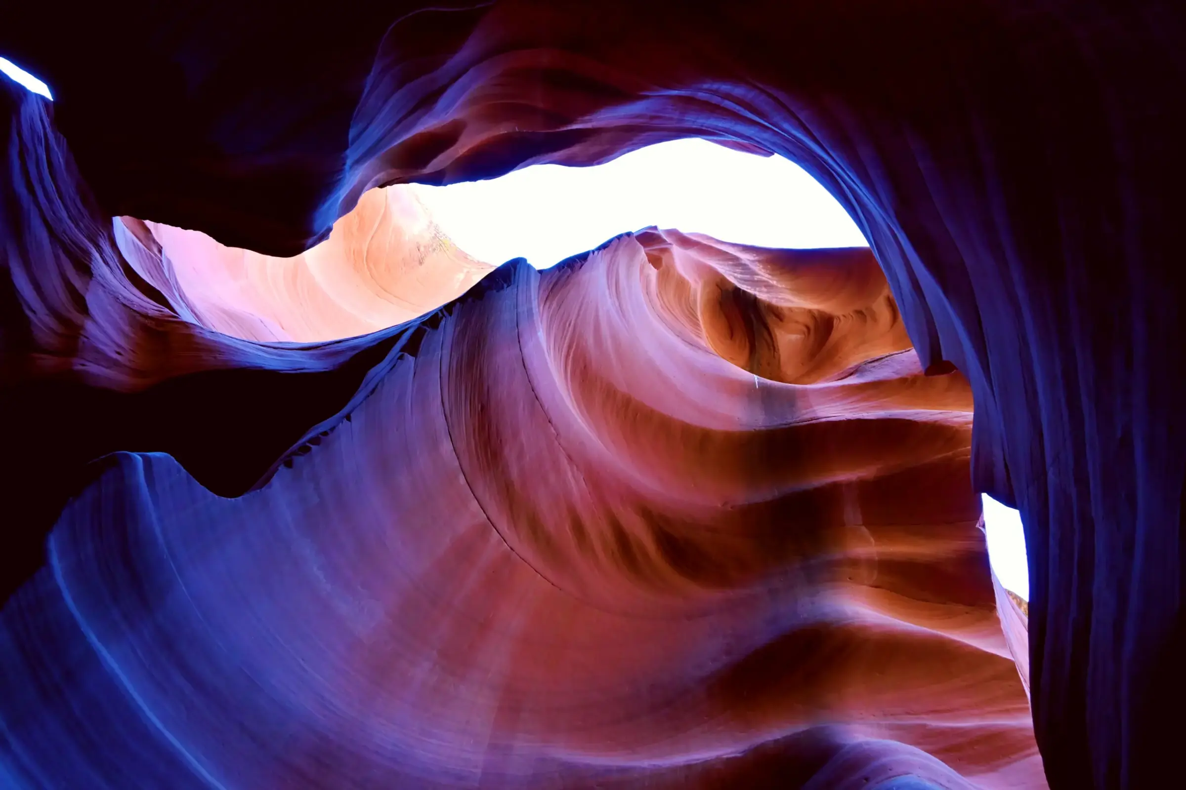
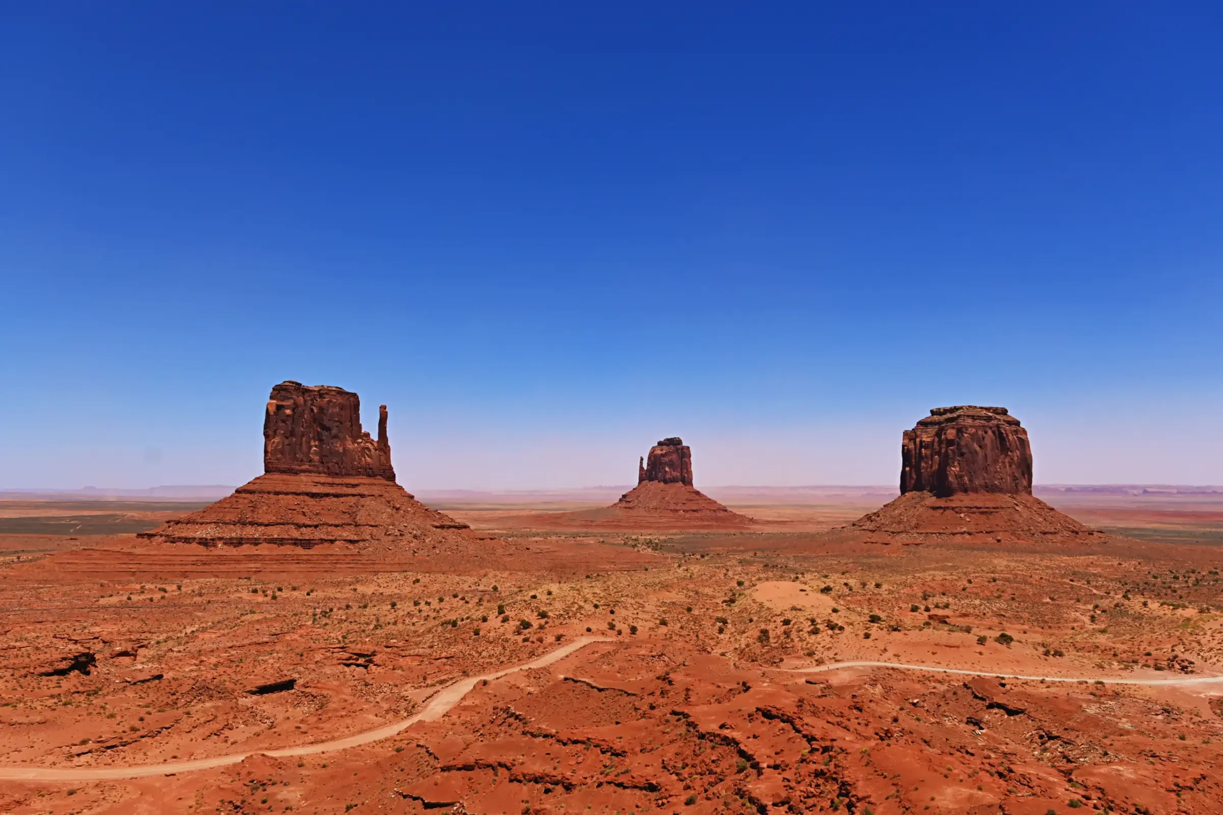
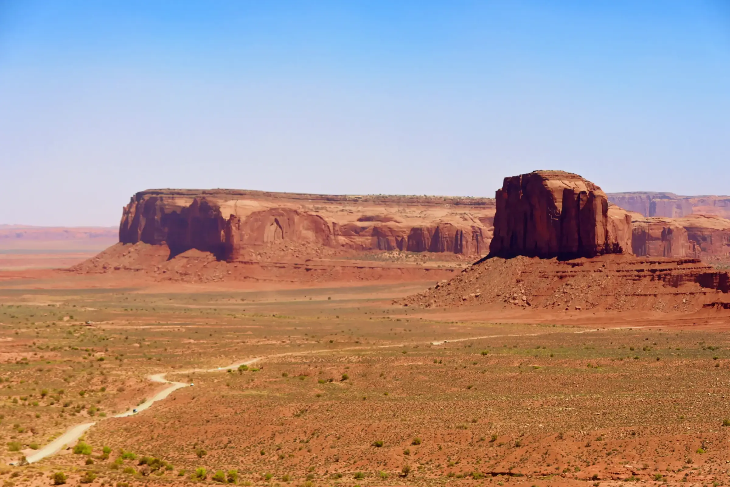
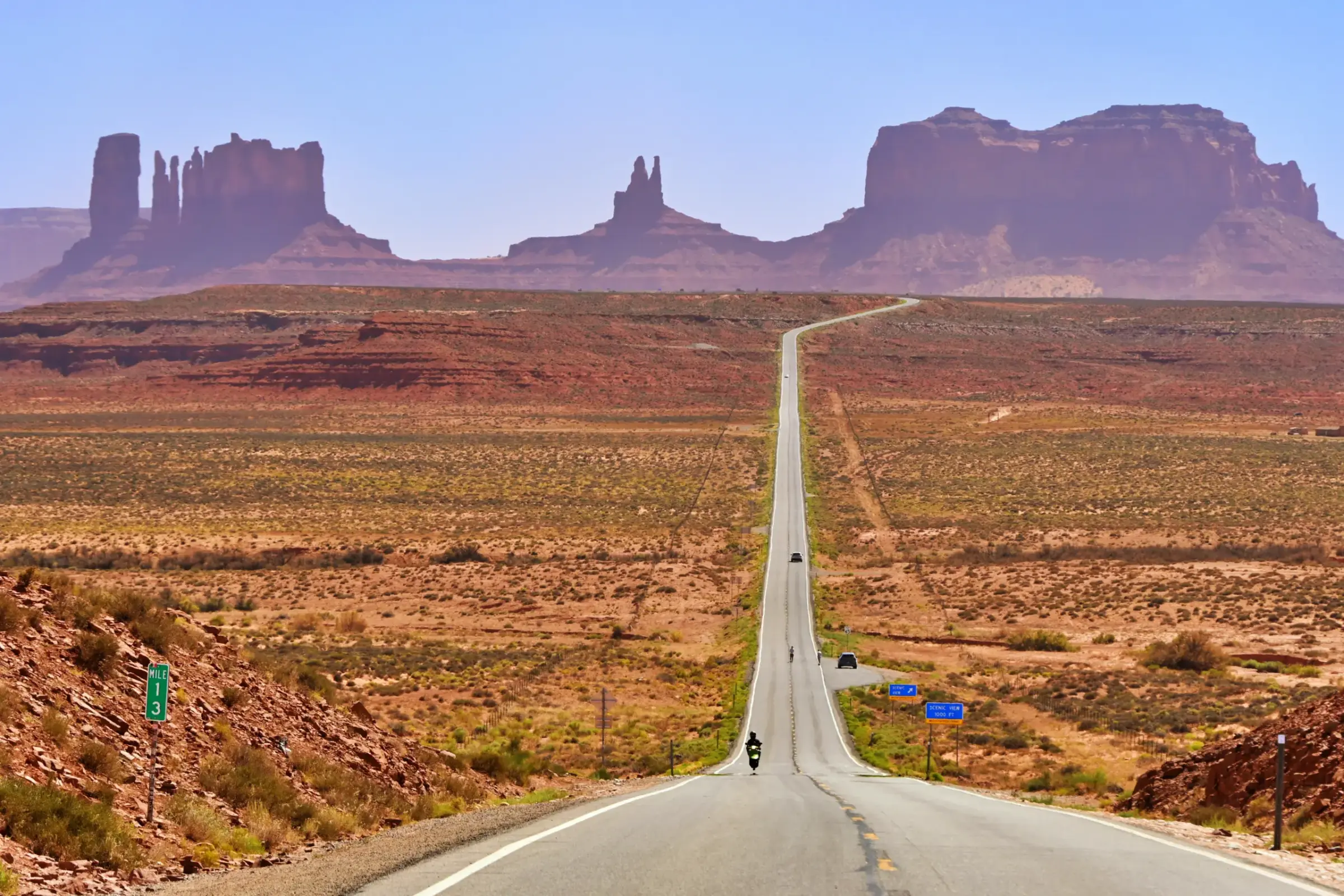
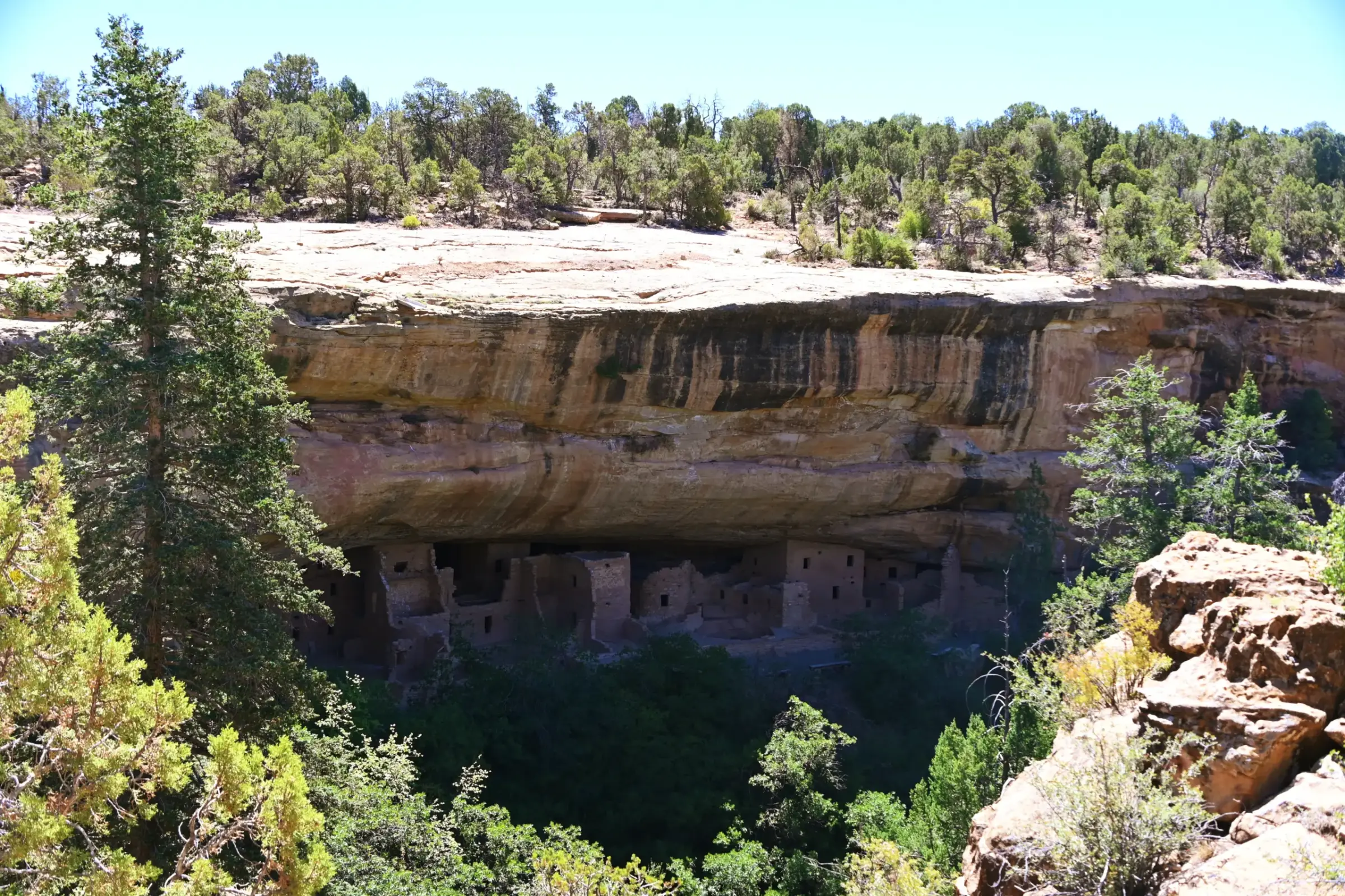
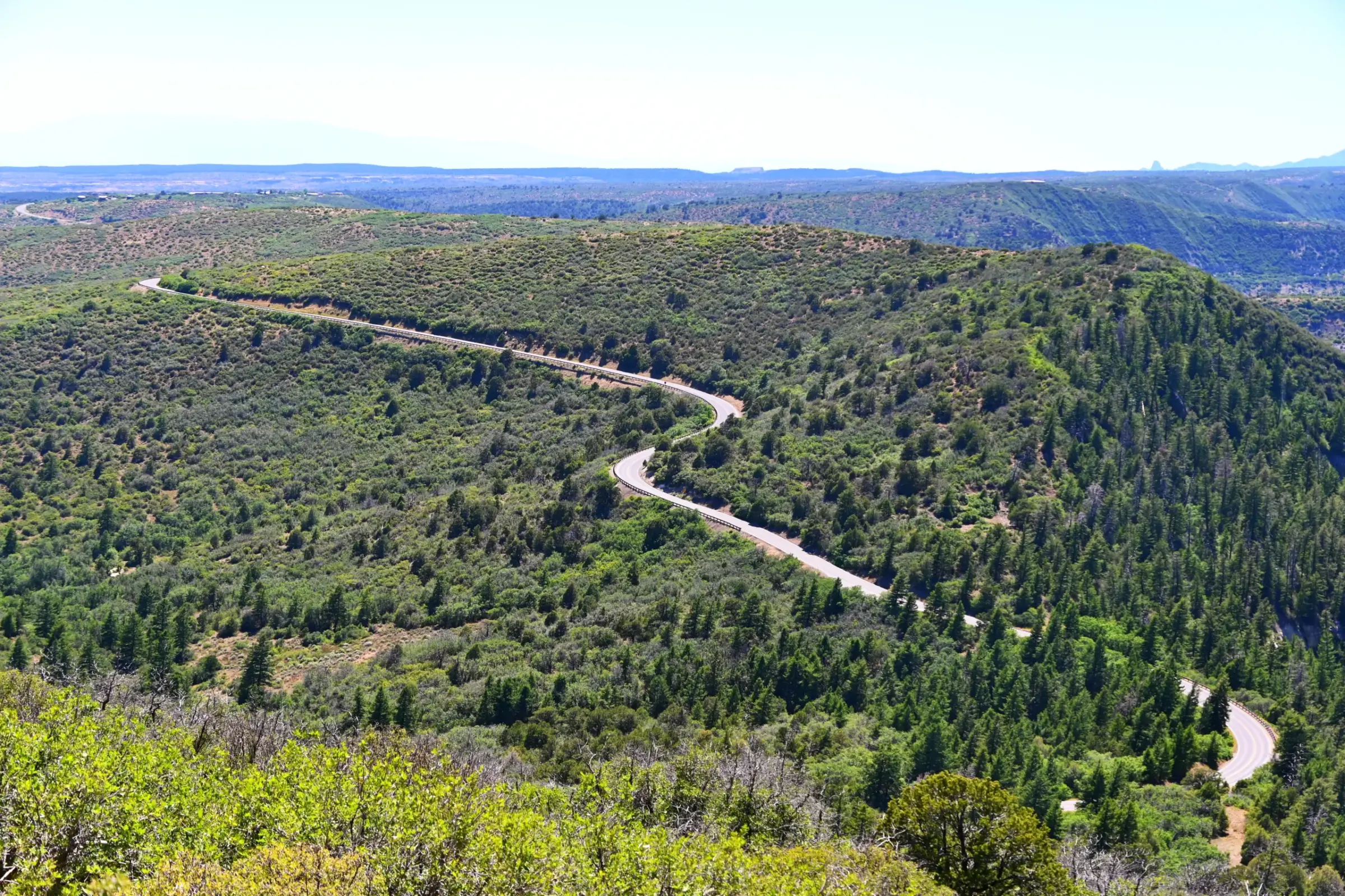
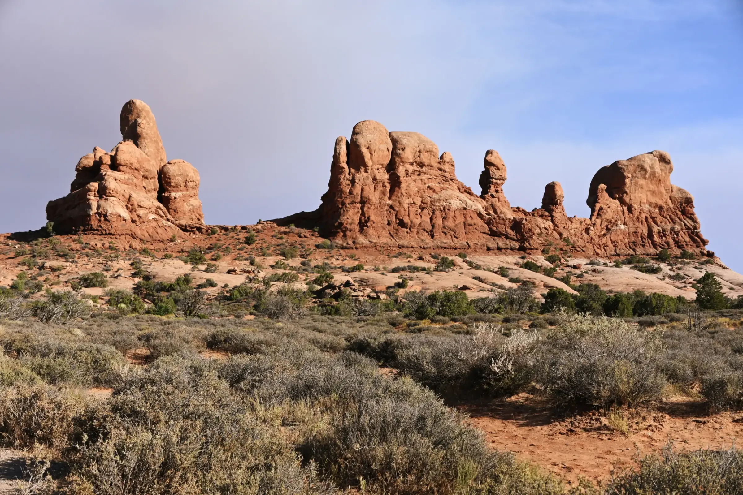
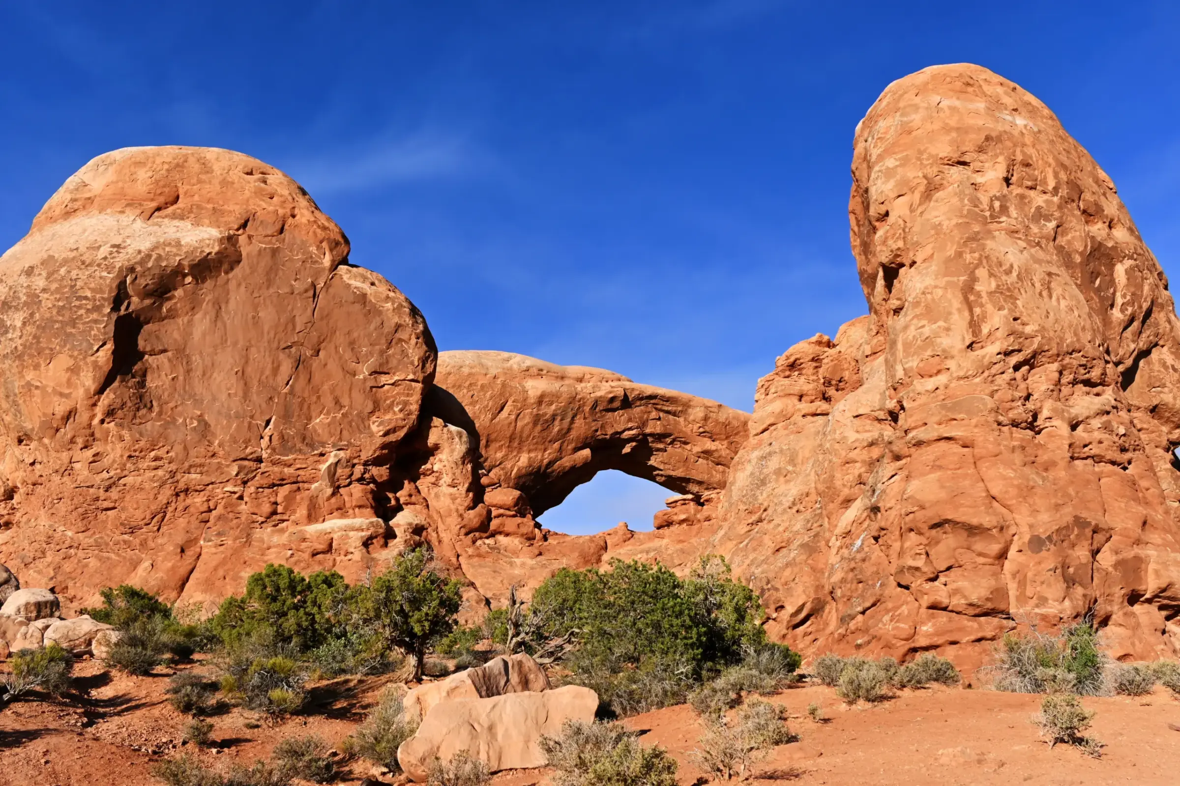
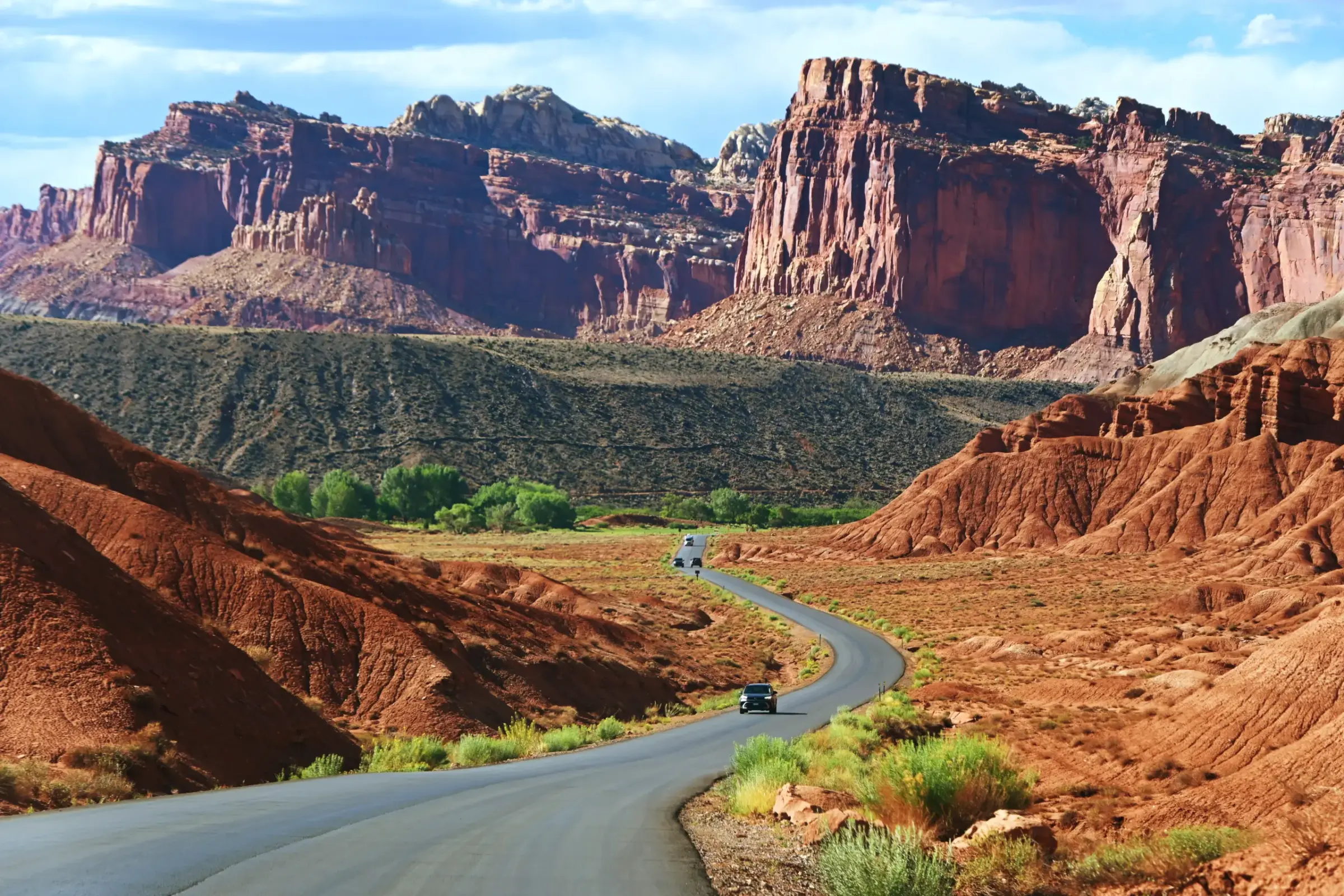
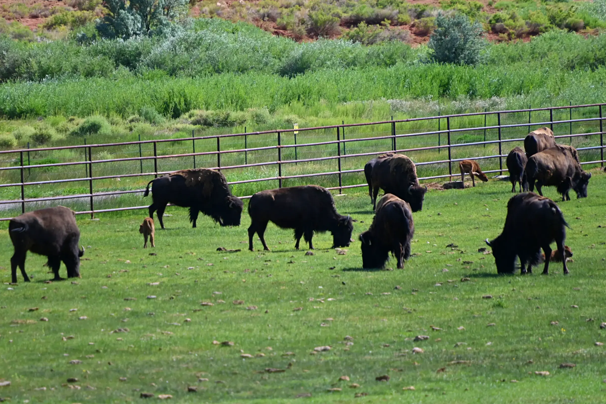
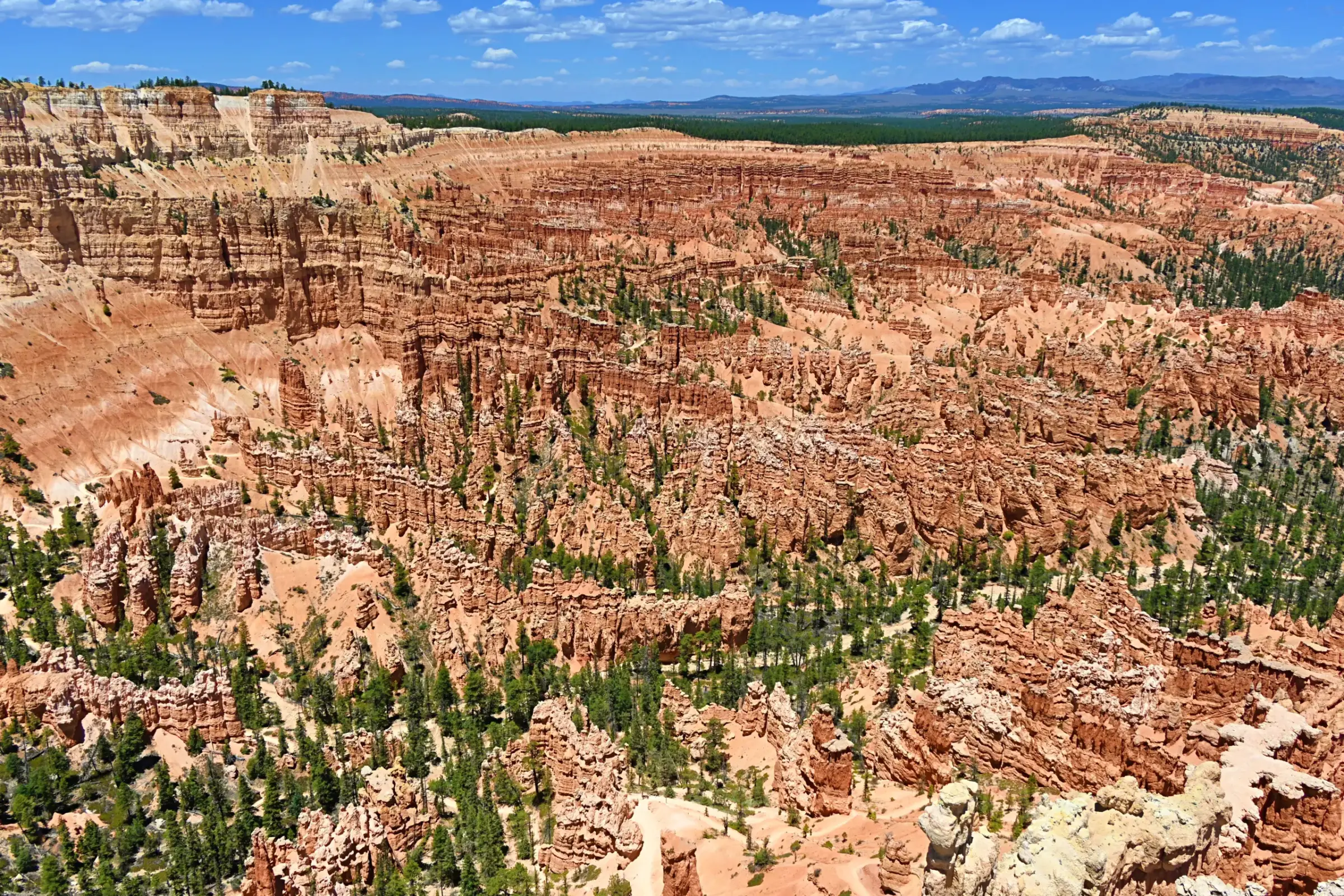
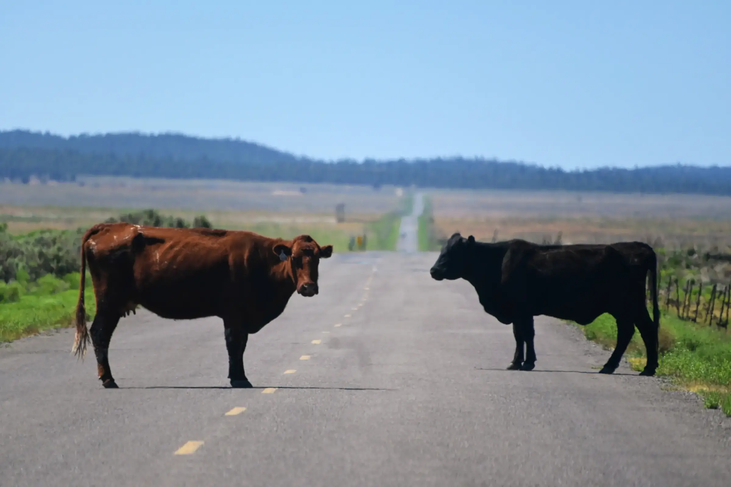
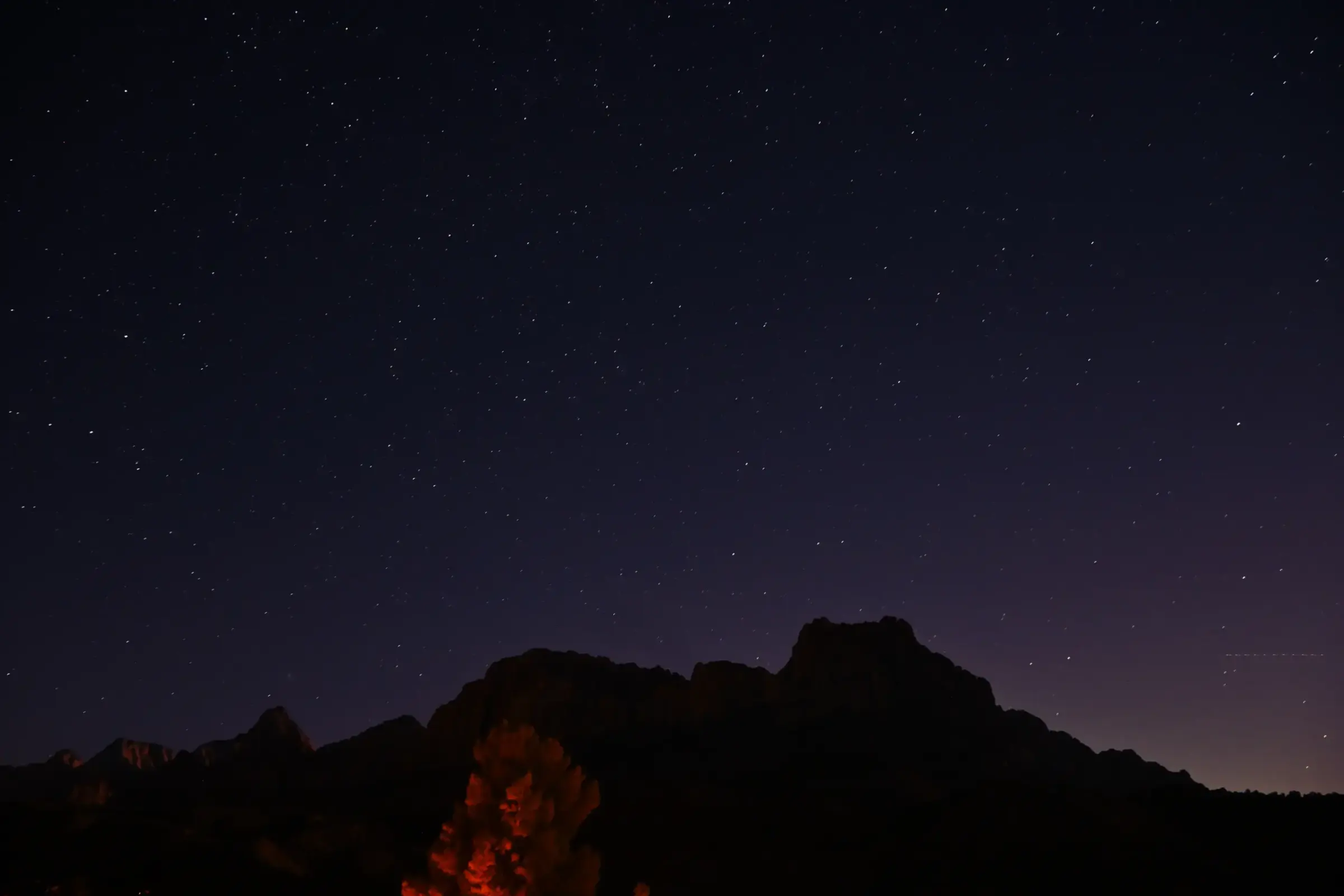
If I could choose only one road trip to experience the beauty of the American Southwest, this would undoubtedly be my top choice. It also aligns perfectly with the theme I envisioned for this journey. Below are some photographs I captured along the route to give you a glimpse of what to expect.

1.2. The Journey’s Main Theme: “Exploring the Nature, History, and Cultures of the American Southwest”
This journey is about more than visiting and taking photographs at some of the United States’ most iconic national parks. I planned it as an opportunity to learn about landscapes shaped by hundreds of millions of years of geological change, as well as the civilizations and communities that have left their mark on the region throughout history.
Alongside magnificent canyons, red-rock deserts, natural arches, and renowned hiking trails, we had the opportunity to see and learn about the Ancestral Pueblo peoples, whose communities flourished between approximately 100 and 1300 CE, through the remarkable cliff dwellings preserved at Mesa Verde. The journey also introduced us to the ancient rock art of the Fremont culture, the traditional arts and crafts of Indigenous peoples such as the Pueblo and Ute, the Navajo or Diné culture that continues to thrive today, and the stories of Mormon pioneers who helped shape the American West from the mid-nineteenth century onward.
1.3. Who Is This Route Not For?
- This itinerary may not be suitable for travelers seeking a relaxing vacation with minimal driving, or for those with fewer than seven days available.
- It is not recommended for solo travelers, as the journey involves long hours of driving across a wide variety of roads. Some stretches pass through remote areas with very little traffic and limited or no internet access or cellular service.
1.4. Who Is This Route Best Suited For?
- Travelers who are genuinely interested in exploring nature, culture, history, and national parks, and who can devote at least 9 days to the journey.
- Those looking to experience a long-distance road trip across the United States.
- Groups with at least one or two people who are confident drivers, know how to change a flat tire, and can navigate using both regular and offline maps.
- Anyone interested in landscape, wildlife, or night-sky photography.
- Families or groups of friends who enjoy exploring, light hiking, and scenic views.
- Travelers who enjoy collecting National Park Service souvenirs, such as Passport stamps, park pins, embroidered patches, and other memorabilia from the NPS system’s more than 430 sites.
1.5. Recommended Trip Length
- Minimum itinerary: 9 days
- More comfortable itinerary: 10-15 days
1.6. Best Time to Go and Important Considerations
- April – May: The weather is generally mild, and visitor numbers are moderate.
- June – August: This period is ideal for travelers who want to take advantage of longer daylight hours and fit more activities into each day. However, it is also the hottest time of year in the American Southwest, particularly in desert areas such as the Grand Canyon, Arches, Canyonlands, and Zion, where daytime temperatures can exceed 40°C (104°F). Some hiking trails may be restricted, while others are not recommended around midday because of the risk of heat exhaustion or heatstroke. Those who are not accustomed to extreme heat may wish to consider traveling during another season. Based on my own experience, however, visitor numbers were not so overwhelming that they significantly affected the overall journey.
- September – October: In my opinion, this is one of the best times of year to take this road trip. The weather is generally much cooler and more comfortable than in summer, while the softer seasonal light creates excellent conditions for photography. Hiking and trekking are also less physically demanding when temperatures are lower. Visitor numbers begin to decline after the summer peak, so many attractions are noticeably less crowded. I traveled during this period and found the experience especially well balanced: the weather was stable, the crowds were manageable, and I avoided both the intense summer heat and the snow- and ice-related disruptions of winter.
- November – March: Visitor numbers are lower, but some areas may experience snow, freezing temperatures, and road closures. Snow chains may also be required on certain routes. It is therefore important to monitor current conditions closely and prepare carefully before setting out.
PART 2: PREPARATION AND BUDGET
2.1. Estimated Cost for the Entire Trip
The following estimates are based on a group of four travelers sharing one room with two beds:
- Budget-conscious: $1,050 – $1,200 per person
- Mid-range: $1,300 – $1,600 per person
- More comfortable: $1,800 – $2,500+ per person
Based on my experience, accommodation and food are usually the two largest expenses on this trip. By comparison, attraction fees, especially when using an America the Beautiful Pass and fuel typically account for a smaller portion of the overall budget. Your final cost will depend heavily on how you plan the journey. Booking reasonably priced accommodation early, traveling with a group to share room expenses, preparing some meals, and bringing food along can reduce the total significantly. On the other hand, choosing premium lodging, dining out frequently, or booking high-end services and activities will naturally increase the budget.
My actual expenses: Because only two of us traveled together, our average cost was approximately $1,600 – $2,300 per person. We prioritized comfortable accommodation, particularly because I was the only driver and needed proper rest between long driving days. For meals, we tried to strike a balance between bringing food to save time and money and dining at local restaurants whenever there was a regional specialty worth trying, or after a long day of hiking, when we needed a more substantial meal. As a result, our food expenses were not excessively high, but they were also not minimal, since we did not want the trip to feel overly restrictive.
2.2. Essential Documents
- A valid passport and U.S. visa, unless you are a U.S. permanent resident or citizen.
- An International Driving Permit, if required.
- A valid U.S. driver’s license, preferably REAL ID-compliant if you are a permanent resident or U.S. citizen.
- Travel insurance, if needed.
- Rental-car insurance, if you plan to rent a vehicle.
2.3. Choosing the Right Vehicle
For this route, traveling by car is the most practical option. It gives you greater control over your schedule, allows you to stop easily at scenic viewpoints, and provides access to most national parks along the way. The majority of the route is paved. Only a few optional sections involve dirt or gravel roads, so any well-maintained and reliable vehicle should be sufficient for the main itinerary.
Recommended Vehicle Types
- Midsize SUV: The most balanced choice for this road trip, offering generous cargo space and a comfortable ride.
- Sedan: Suitable for one or two travelers with limited luggage.
- Minivan: A practical option for larger groups.
- Electric vehicle: Possible, but requires careful planning around driving range and charging locations.
- RV or motorhome: Suitable for travelers seeking a slower-paced journey with more flexible overnight arrangements.
Personal Vehicle or Rental Car?
- For international visitors or travelers who do not live in the United States, renting a car is usually the most convenient option.
- Those using their own vehicle should have it thoroughly inspected before departure, particularly the tires, brakes, engine oil, cooling system, and spare tire. Personally, I prefer scheduling routine maintenance before every major road trip for added peace of mind.
Suggested Models (Based on my personal preferences)
- Compact SUVs: Toyota RAV4, Honda CR-V, Subaru Forester
- Sedans: Toyota Camry, Honda Accord
- Midsize SUVs: Toyota Highlander, Honda Pilot
- Minivans: Toyota Sienna, Honda Odyssey, Chrysler Pacifica, Kia Carnival
How New Should the Vehicle Be?
- Ideally, choose a 2023 – 2026 model. Newer vehicles generally offer more advanced safety technology, better fuel efficiency, driver-assistance systems that help reduce fatigue during long drives, a lower risk of mechanical problems, and near-standard access to Apple CarPlay or Android Auto.
- A well-maintained 2020 – 2022 model is also a strong option, particularly if it has relatively low mileage and includes essential safety features.
- I would generally avoid choosing a 2009 – 2018 vehicle for a trip of this length—not necessarily because an older car is unreliable, but because it may lack modern driver-assistance features, consume more fuel, and have a greater chance of developing mechanical issues after years of use, especially if maintenance has been inconsistent. That said, older vehicles remain common on American roads. A carefully inspected and properly maintained 15- or 20-year-old car may still complete the journey without difficulty.
Recommended Items to Keep in the Car
- Phone mount
- Charging cables and car charger
- Portable power bank
- Flashlight
- First-aid kit
- Refillable water bottles
- Tissues and wet wipes
- Trash bags
- Hand sanitizer
Emergency and Basic Repair Supplies
- Jumper cables
- Portable jump starter
- Emergency tire-sealant kit
- Tire inflator or air pump
- Basic tire-changing tools
- Emergency warning triangle
- Multipurpose screwdriver set
- Zip ties
2.4. Recreation Passes: America the Beautiful Pass
If your itinerary includes three or more national parks, purchasing an America the Beautiful Pass, officially known as the Interagency Annual Pass, will almost certainly be worthwhile. Valid for 12 months, the pass provides access to more than 2,000 federally managed recreation sites, including most national parks, national monuments, national recreation areas, and many other protected lands.
America the Beautiful Pass Options
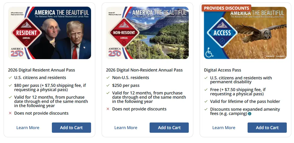
Depending on your eligibility, you may choose from the following passes:
- U.S. Resident Annual Pass: $80 per year, available to U.S. citizens and permanent residents.
- Non-Resident Annual Pass: $250 per year, available to international visitors who are neither U.S. citizens nor permanent residents.
- Access Pass: Free and valid for life, available to U.S. citizens and permanent residents with a permanent disability.
- Senior Pass: Available to U.S. citizens and permanent residents aged 62 or older.
- Annual Pass: $20 per year
- Lifetime Pass: $80
- Military Pass: Free, available to eligible U.S. military members and veterans.
Purchase link: Digital America the Beautiful Passes
Important Notes
- When traveling as a group in one vehicle, a single pass will generally cover everyone in the vehicle at sites that charge a per-vehicle entrance fee.
- At the entrance station, the person whose name appears on the pass may be required to present the pass together with a valid photo ID for verification. For this reason, borrowing a pass from someone who is not traveling with you is not recommended and may not be accepted.
- International visitors who are not U.S. citizens or permanent residents should calculate the total entrance fees for their planned itinerary before purchasing the $250 Non-Resident Annual Pass. The pass is most cost-effective when the combined entrance fees exceed $250 or when you expect to visit multiple national parks and federal recreation sites within the following 12 months.
2.5. What Else Should You Book in Advance?
- Flights, if you are traveling from another state
- Hotels
- Campsites
- Any required hiking or backcountry permits
- Certain attractions that require advance reservations and may only be visited through authorized tour operators or ranger-led tours. These include Upper Antelope Canyon, Lower Antelope Canyon, Cliff Palace, Balcony House, Long House, Square Tower House, and Mug House. Other tours are also available for travelers interested in exploring the region in greater depth.
Tip: Keep printed copies of your itinerary, hotel reservations, tour confirmations, and permits in case your phone runs out of battery, loses service, or becomes unusable during the trip.
2.6. Suggested Packing List
Money, Documents, and Clothing
- Cash in a range of denominations, such as $100, $20, $10, $5, and $1 bills
- A credit card
- Paper and digital copies of important documents
- Seasonally appropriate clothing and a pair of slippers or indoor shoes, as not every hotel in the United States provides them
- A wide-brimmed hat or hiking cap
- More than one pair of shoes
- Trekking poles, if needed
- Camping equipment, blankets, and pillows, if applicable
Outdoor and Personal Essentials
- A reusable water bottle or hydration bladder
- A flashlight with a red-light or dual-color mode, particularly for stargazing or nighttime tours
- UV-protective sunglasses
- Water shoes or waterproof footwear if you plan to hike The Narrows or visit lakes and rivers
- Sun-protective clothing and sunscreen
- A basic first-aid kit
- Toilet paper, tissues, wet wipes, and hand sanitizer
Medication and Health Supplies
Bring any personal medication you may need, as well as basic remedies for common travel-related issues, such as:
- Headaches and fever
- Runny nose or cold symptoms
- Digestive discomfort and constipation
- Allergies
- Lactose intolerance
- Motion sickness
- Insect repellent and treatment for insect bites
Photography and Electronics
- Camera and lenses
- Tripod
- Spare batteries
- Battery charger
- Extra memory cards
- Portable power bank
Food and Drink
- A cooler for drinking water
- Snacks, candy, or chips
- Convenient foods such as instant noodles, rice noodles, ready-to-eat rice, canned soup, tuna, mackerel, Spam, or other shelf-stable meals
- Fruit that is easy to peel and does not require washing
- Korean ready-to-eat rice, soups, canned fish, Spam, and other convenient foods are widely available at stores such as H Mart.
Important Note When Returning to California
California enforces agricultural inspection regulations to protect the state’s farming industry. When entering California by road from another state, you may be asked to stop at an inspection station. Certain fruits, vegetables, plants, and other agricultural products may be restricted or prohibited. Bring only what you expect to consume during the trip, finish fresh produce before returning to California whenever possible, and declare any remaining agricultural items honestly if asked. These restrictions generally do not apply when you are traveling out of California.
Additional Items Worth Bringing
- Satay sauce, chili salt, chili sauce, or other seasonings—especially for travelers who, like me, find it difficult to go without spicy food
- An electric kettle, as not every hotel room provides one
- Instant coffee, tea, or milk tea
- A large cooler, particularly during summer
- A cooler is especially useful for keeping drinking water, fruit, fresh food, and other temperature-sensitive items chilled throughout the journey. Most hotels have complimentary ice machines, and bagged ice is also available at convenience stores. A 15–20-quart cooler is usually sufficient for a smaller group, while a 25–35-quart cooler offers more space for longer trips.
- Reusable shopping bags and large trash bags
Traveling with Pets
When traveling with a pet, bring sufficient food and water, food and water bowls, a leash, a collar with updated contact information, vaccination records or digital copies, waste bags, grooming supplies, and any necessary medication. It may also be helpful to carry probiotics or digestive-support medication recommended by your veterinarian. Long hours in the car, unfamiliar surroundings, and changes in routine can cause stress, reduced appetite, or digestive problems in both cats and dogs.
2.7. Useful Apps and Devices
- AirTag: Hide an AirTag in a discreet location inside the vehicle. Share access with at least one other trusted person so that the car can still be located if you become separated from your group, lose your phone, or cannot access your account.
- Offline entertainment apps: Download music, podcasts, or audiobooks in advance through services such as YouTube Music or Spotify. Download as much content as possible before leaving, since cellular service may be unavailable for long stretches.
- Parkwolf: This app functions like a personal audio tour guide for national parks. It can provide narration as you drive past major landmarks, along with information about viewpoints, trails, lakes, distances, directions, and suggested stops. Much of its content can be downloaded for offline use. A free trial may be available, but remember to cancel before the trial period ends if you do not plan to continue the subscription.
- Recreation.gov: Essential for reserving campsites, applying for permits, booking ranger-led tours, and checking availability for many federal recreation sites.
- Seek by iNaturalist: Useful for identifying plants, animals, insects, fungi, and other wildlife by taking a photograph or uploading an existing image.
- Starlink Mini: Worth considering only if you need reliable internet throughout the trip. It can provide connectivity in many remote areas without cellular service, but both the equipment and service can be expensive, so research the costs and coverage carefully before purchasing.
PART 3: ROADBOOK – DETAILED ITINERARY
LEG 1: LOS ANGELES → GRAND CANYON NATIONAL PARK
- 📍 Distance: 494 mi (795 km), primarily via I-10 and I-40
- 🚙 Driving time: 7–8 hours
- 🛏️ Accommodation: Yavapai Lodge (inside the national park; scenic, clean, and professionally managed)
- 💰 Accommodation cost: From $100–$350/night (depending on the season and room type)
- ⏳ Recommended duration: 1–2 days
- ⛽ Fuel: Fill up in Williams before entering the park.
- 🍽️ Dining at Grand Canyon Village: Suggestions include El Tovar Dining Room and Arizona Steakhouse (advance reservations recommended).
Suggested itinerary for Day 1:
- 5:00 AM–1:00 PM: Drive from LA to the Grand Canyon (stop at a rest area every 2–3 hours to rest and refuel midway).
- 1:00–2:00 PM: Lunch.
- 2:00–6:00 PM: Visit the Visitor Center, Mather Point, and Yavapai Geology Museum.
- 6:00–7:00 PM: Watch the sunset at Pipi Point, Mohave Point, or Yaki Point, depending on the season and current shuttle regulations. Some roads are accessible only by shuttle bus, so you should plan ahead and check the details or ask park staff.
- 8:00 PM: Dinner at Grand Canyon Village, as there are not many options near Yavapai Lodge.
- 10:00 PM: Get a good night’s rest.
Suggested itinerary for Day 2: (If you want to add 1 extra day): You may consider the following itinerary: (take your health into consideration and choose only 1–2 trails to conserve your energy)
- 🥾 Trail 1: Ooh Aah Point. Distance: 1.8 mi (2.9 km) round trip. Time: Approximately 1–1.5 hours. Difficulty: Easy–Moderate. This is a short hike, but it offers a clear sense of “descending into the heart of the Grand Canyon.” Suitable for most visitors and first-time hikers at the Grand Canyon.
- 🥾 Trail 2: Cedar Ridge. Distance: 3 mi (4.8 km) round trip. Time: Approximately 2–3 hours. Difficulty: Moderate. Many visitors consider this the most worthwhile destination on the South Kaibab Trail if you have only half a day.
- 🥾 Trail 3: Bright Angel Trail → 1.5 Mile Resthouse. Distance: 3 mi (4.8 km) downhill, approximately 6 mi (9.6 km) round trip. Time: 4–6 hours. Difficulty: Moderate–Strenuous. Suitable for: Experienced hikers or those who want to spend nearly a full day exploring the Grand Canyon. This is one of the Grand Canyon’s most famous and long-established hiking trails.
LEG 2: GRAND CANYON NATIONAL PARK → PAGE (LAKE POWELL)
- 📍 Distance: ~135 mi (217 km)
- 🚙 Driving time: 3–4 hours (excluding sightseeing time)
- 🛏️ Accommodation: Wingate by Wyndham Page Lake Powell or Sleep Inn & Suites (both are relatively new and clean)
- 💰 Accommodation cost: From US$80–250/night (depending on the season and room type)
- ⏳ Recommended duration: 1 day
- 🍽️ Dining: Cameron Trading Post Restaurant
- ⛽ Fuel: Grand Canyon Village, Cameron Trading Post, or along the route
Suggested itinerary:
- 7:30–8:30 AM: Have breakfast, check out, and depart from Grand Canyon Village.
- 8:30–11:30 AM: Explore Desert View Drive (AZ-64 East), stopping at the viewpoints in the following order: Pipe Creek Vista → Grandview Point → Moran Point → Lipan Point (one of the most beautiful viewpoints on the South Rim) → Navajo Point → Desert View Watchtower (you may skip a few stops if you want to save time).
- 12:30–1:30 PM: Have lunch at Cameron Trading Post Restaurant if you would like.
- 1:30–3:30 PM: Continue north on US-89 toward Page.
- 3:30–5:00 PM: Visit Horseshoe Bend (0.75 mi/1.2 km of walking each way from the parking lot, with approximately 1-1.5 hours for the visit). There is no admission fee, but parking costs $10 per vehicle.
- 5:15–7:00 PM: Stop at Glen Canyon Dam Overlook or Carl Hayden Visitor Center if it is still open. Alternatively, you can visit a public beach at Lake Powell for a swim.
- 8:00 PM: Check in at Wingate by Wyndham Page Lake Powell.
- Evening: Have dinner and rest early to prepare for the Antelope Canyon tour the following morning.
LEG 3: PAGE → ANTELOPE CANYON → MONUMENT VALLEY → CORTEZ
- 📍 Distance: ~180 mi (290 km)
- 🚙 Driving time: 4–5 hours (excluding the time spent sightseeing at each location)
- 🛏️ Accommodation: Days Inn by Wyndham Cortez (very basic and the rooms are quite dated)
- 💰 Accommodation cost: From $70–180/night (depending on the season and room type)
- ⏳ Recommended duration: 1 day
- 🎟️ Advance booking: Antelope Canyon Tour (required)
- ⛽ Fuel: Fill up in Page before departure.
Suggested itinerary:
- 6:30–7:30 AM: Have breakfast, check out, and prepare for the Antelope Canyon tour.
- 8:00–9:30 AM: Join an Antelope Canyon Tour (Lower or Upper, depending on the tour you booked). For a summer itinerary, book the 8:00 AM or 8:30 AM time slot. (Note: You will not be allowed to bring a bag into Antelope Canyon; only a camera, phone, and water bottle are permitted.)
- 10:00 AM–1:30 PM: Depart for Monument Valley. Have lunch along the way.
- 1:30–5:00 PM: Explore Monument Valley Navajo Tribal Park: Visitor Center, The View, Scenic Viewpoint, 17-mile Valley Drive (if it is open and road conditions are suitable), West Mitten Butte, East Mitten Butte, Merrick Butte, John Ford Point, Artist’s Point, and Totem Pole Overlook (if taking a tour or driving independently). Select the stops you prefer rather than trying to visit everything.
- 5:00–7:30 PM: Drive to Cortez, Colorado. Along the way, you can stop at Forrest Gump Point on US-163 which approximately 15 minutes from Monument Valley and one of the most iconic photography locations in the American West, featured in the movie Forrest Gump.
- 7:30 PM: Check in at the hotel, have dinner, and rest.
LEG 4: CORTEZ → MESA VERDE NATIONAL PARK
- 📍 Distance: ~55 mi (89 km) (including travel within the park)
- 🚙 Driving time: 2–3 hours (including connecting roads within the park)
- ⏳ Recommended duration: 1 day
- 🎟️ Booked tour: Balcony House Tour (1:30 PM) – arrive at the meeting point at least 30 minutes before the tour.
- 🍽️ Dining: Metate Room (dinner), Spruce Tree Terrace Café (seasonal lunch), Roadside Fry Bread operated by Native Americans near Balcony House (recommended arrival time: 10:00 AM–12:00 PM)
- ⛽ Fuel: Fill up in Cortez before entering the park.
- 🛏️ Accommodation: Far View Lodge (inside Mesa Verde National Park) is where I previously booked a stay. However, I found it very inconvenient, and the quality was not worth the rate of $170–350/night. Therefore, I recommend booking a better-reviewed hotel as close to the Mesa Verde entrance as possible.
Suggested itinerary:
- 07:00–08:20 AM: Stop at the Mesa Verde Visitor & Research Center, pick up a paper map, check road conditions and the Ranger Program schedule, and confirm the details of the Balcony House tour.
- 08:20–09:00 AM: Drive to the Far View area (approximately 20–25 mi/40–45 minutes).
- 09:00–09:50 AM: Visit the Far View Sites Complex: Far View House, Pipe Shrine House, Coyote Village, and Far View Reservoir.
- 10:00–10:45 AM: Visit the Chapin Mesa Archaeological Museum (or check whether it has reopened by the time of your visit).
- 10:45–11:45 AM: Explore Mesa Top Loop Road, with possible stops at: Pithouse, Navajo Canyon View, Square Tower House Overlook, Sun Point View, Oak Tree House Overlook, Sun Temple, Cliff Palace Overlook, and Spruce Tree House Overlook (if the viewing area is open).
- 12:00–12:40 PM: You may have lunch at Spruce Tree Terrace Café or try Road Side Fresh Fry Bread from Native Americans near Balcony House for $5 each. This Native American-operated stand is known for freshly made fry bread. You can try traditional fry bread, honey, cinnamon sugar, or Blue Corn Fry Bread if available. This is also a rare opportunity to enjoy a distinctive Indigenous dish during the journey.
- 12:40–1:10 PM: Travel to the Balcony House area or the location of your booked tour. You should always arrive 30 minutes early.
- 1:30–2:30 PM: Join the tour. For example, the Balcony House Ranger-Guided Tour lasts approximately 1 hour and requires climbing a 32 ft (9.8 m) ladder without a safety harness and crawling through a narrow tunnel. There is plenty of time to rest while listening to the ranger at each stop.
- 2:45–3:30 PM: Stop at Cliff Palace Overlook or join the Cliff Palace Tour if you booked an additional ticket (schedule it at least 2 hours after the Balcony House Tour).
- 3:45–4:15 PM: Stop at Park Point Lookout—the highest point in Mesa Verde at 8,572 ft/2,613 m—and enjoy panoramic views of Colorado, Utah, New Mexico, and Arizona when the weather is clear.
- 4:30 PM: Check in at the hotel and rest.
- 5:30–7:00 PM: Dinner.
- 7:30–8:30 PM: Join an Evening Ranger Program at the Morefield Campground Amphitheater, if one is being offered. Topics vary by day and may include archaeology, the Ancestral Pueblo people, or the night sky.
- After 8:30 PM: Return to the hotel to rest or enjoy the night sky.
LEG 5: MESA VERDE → MOAB → ARCHES NATIONAL PARK
- 📍 Distance: 166 mi (267 km)
- 🚙 Driving time: 3–3.5 hours
- 🛏️ Accommodation: Wolfe’s Hotel Moab
- 💰 Accommodation cost: From ~US$180–350/night (the rooms are reasonably clean, efficiently designed, smartly furnished, and fairly new; the staff are quite professional; all areas smell fresh; and because the hotel had recently opened, everything still felt new and the parking area was spacious)
- ⏳ Recommended duration: 1–3 days
- 🎟️ Note: Check the Timed Entry requirements for Arches National Park, if applicable.
- 🍽️ Dining: This is the downtown area, so there are many options. Check reviews on Google Maps, Yelp, or other platforms. If you particularly enjoy Asian food, this is a good place to look for Asian dishes, especially Thai food. There are also many Mexican and American restaurants to choose from.
Suggested itinerary:
- 07:00–08:00 AM: Have breakfast, check out, and leave Mesa Verde.
- 08:00–11:00 AM: Drive to Moab.
- 11:00–12:00 PM: Have lunch in Moab and purchase drinking water and light snacks.
- 12:00–12:20 PM: Leave your luggage at the hotel (if it is not yet check-in time), then travel to Arches National Park.
- 12:30–12:50 PM: Enter the Visitor Center, then continue to Park Avenue Viewpoint—the park’s first scenic viewpoint.
- 12:50–1:10 PM: La Sal Mountains Viewpoint.
- 1:10–1:30 PM: Balanced Rock.
- 1:40–3:30 PM: Optional hike to Landscape Arch on the Devils Garden Trail—approximately 2 mi (3.2 km) round trip, taking 1.5–2 hours.
- 3:45–4:30 PM: Double Arch.
- 4:30–6:30 PM: Windows Section: North Window, South Window, Turret Arch, and Windows Loop Trail.
- 6:30–8:30 PM: Watch the sunset in the Windows Section. Arrive approximately 30–45 minutes before sunset to select a photography location.
- Location 1: Turret Arch looking toward North Window.
- Location 2: South Window looking toward the valley.
- Location 3: North Window Viewpoint.
- 8:45 PM: Return to Moab for dinner and rest.
If you want to spend 1 more day in Moab, here are some options to consider:
- 🏞️ Option 1: Canyonlands National Park (Island in the Sky). Time: 5–8 hours. Highlights: Mesa Arch (famous at sunrise), Grand View Point Overlook, Green River Overlook, Buck Canyon Overlook, Shafer Canyon Viewpoint, and Upheaval Dome.
- 🏞️ Option 2: Dead Horse Point State Park. Time: 2–4 hours. Highlights: Dead Horse Point Overlook, Rim Loop Trail, and Shafer Canyon View.
- 🏞️ Option 3: Explore the Colorado River. Book Kayak, Canoe, Rafting, or Sunset Cruise tours.
- 🏞️ Option 4: Experience Hell’s Revenge (Jeep/UTV Tour). This is for thrill-seekers, with Jeep Wranglers or Jeep Rubicons modified for off-road driving across steep rock slopes and narrow “fins,” offering panoramic views of Moab, the Colorado River, and the La Sal Mountains. Time: 2–4 hours (half-day and sunset tours are available). A guided Jeep tour costs approximately US$120–180/person. Renting a UTV for a self-drive tour costs approximately US$250–500+/vehicle, depending on the vehicle type and duration.
LEG 6: LEG 6: MOAB → NEWSPAPER ROCK → CAPITOL REEF NATIONAL PARK → TORREY
- 📍 Distance: ~210 mi (338 km)
- 🚙 Driving time: 5–6 hours (excluding sightseeing)
- 🛏️ Accommodation: Capitol Reef Resort in Torrey (acceptable compared with other options in the area)
- 💰 Accommodation cost: From $130–350/night
- ⏳ Recommended duration: 1 day
- 🍽️ Dining: Rim Rock Restaurant (opposite Capitol Reef Resort)
Suggested itinerary:
- 08:00–09:00 AM: Depart from Moab for Newspaper Rock State Historic Monument (~52 mi/84 km).
- 09:00–09:30 AM: Visit Newspaper Rock, one of the largest petroglyph panels in the American Southwest. It contains more than 650 carvings created by cultures including the Fremont and Ancestral Pueblo peoples and requires only a 5–10-minute walk from the parking lot.
- 09:30 AM–12:00 PM: Drive to Capitol Reef National Park, passing through Monticello, Blanding, and Hanksville.
- 12:00–12:20 PM: Visit the Petroglyph Panel.
- 12:20–01:20 PM: Explore the Fruita Historic District: Gifford Homestead Museum, Fruita Schoolhouse, Fruita Barn, and the historic orchards (depending on the season, you may pay a small fee to pick and eat fruit from the orchards).
- 01:20–02:00 PM: Have lunch or enjoy pie, ice cream, and drinks at Gifford Homestead. Do not miss its famous pies, such as Apple Pie, Cherry Pie, or Mixed Berry Pie, prepared using traditional recipes and fruit from the Fruita Historic District orchards cultivated by Mormon settlers beginning in the late nineteenth century. The $2 ice cream or chocolate available here is also quite good.
- 02:00–03:00 PM: Drive along Capitol Reef Scenic Drive: Panorama Point, Goosenecks Overlook, Sunset Point, and Golden Throne Viewpoint.
- 03:00–04:00 PM: Take a short hike, choosing only one of the following two routes:
- Hickman Bridge Trail (1.8 mi/2.9 km, approximately 1–1.5 hours)
- Capitol Gorge Road (if the road is open)
- 04:15–04:45 PM: Travel to Capitol Reef Resort, check in, and have dinner.
- Evening: You can relax by the pool, take photographs of the Milky Way—Capitol Reef is an International Dark Sky Park—or attend an Evening Program (Ranger Talk) organized by the national park at the Fruita Campground Amphitheater. Topics change from day to day, so check the details in advance.
LEG 7: TORREY → BRYCE CANYON NATIONAL PARK
- 📍 Distance: ~115 mi (185 km)
- 🚙 Driving time: 2.5–3 hours
- 🛏️ Accommodation: Anywhere in the Bryce Canyon area or Bryce Canyon City is fine
- 💰 Accommodation cost: From US$180–400/night (depending on the season and room type)
- ⏳ Recommended duration: 1–2 days
Suggested itinerary:
- 07:00–08:00 AM: Have breakfast, check out, and leave Torrey.
- 08:00–10:30 AM: Drive along Scenic Byway 12 to Bryce Canyon National Park. There are many activities here that you may want to spend time exploring, so I recommend the locations below depending on how long you plan to stay in the park, your physical condition, and which trails you want to hike.
Scenic points to visit:
- Bryce Point, including Bryce Amphitheater and the Wall of Windows, with thousands of hoodoos stretching across the valley.
- Inspiration Point.
- Sunrise Point.
Hiking trails:
- 🥾 Trail 1: Queen’s Garden + Navajo Loop. Distance: 2.9 mi (4.6 km) round trip. Time: 2–3 hours. Difficulty: Moderate. This is the most famous hiking route in Bryce Canyon and is recommended by the National Park Service for first-time visitors.
- 🥾 Trail 2: Peekaboo Loop Trail. Distance: 5.5 mi (8.9 km). Time: 3–4 hours. Difficulty: Moderate–Strenuous. Suitable for those who want to explore Bryce Amphitheater in greater depth.
- 🥾 Trail 3: Fairyland Loop Trail. Distance: 8 mi (12.9 km). Time: 4–5 hours. Difficulty: Strenuous. This is one of Bryce Canyon’s most beautiful trails and receives fewer visitors. Suitable for: Travelers in good physical condition who want to spend almost an entire day hiking.
Other activities:
- Astronomy Program: Bryce Canyon is an International Dark Sky Park. If your visit coincides with the correct schedule, you can join a Ranger Astronomy Program, observe the sky through telescopes, identify constellations, and photograph the Milky Way.
- Cycling: You can rent a bicycle in Bryce Canyon City and ride along the Shared-use Path.
LEG 8: BRYCE CANYON → ZION NATIONAL PARK → SPRINGDALE
- 📍 Distance: ~85 mi (137 km)
- 🚙 Driving time: Approximately 2 hours (excluding sightseeing)
- 🛏️ Accommodation: Hotel De Novo Springdale, Tapestry Collection by Hilton (beautiful, spacious, luxurious, and clean rooms; professional staff)
- 💰 Accommodation cost: From US$180–450/night (depending on the season and room type)
- 🍽️ Dinner: Anu Restaurant, located within Hotel De Novo Springdale. This was the restaurant I rated most highly throughout the entire trip. It leans toward fine dining, featuring New American cuisine influenced by South American, Peruvian, Japanese, and Chinese culinary traditions. Everything, from the presentation of the dishes to the ingredients, was thoughtfully executed. The cocktails were also excellent. There are several other highly rated restaurants in the surrounding area, so finding good food in Springdale should not be a concern.
- ⏳ Recommended duration: 1–3 days
- 🎟️ Note: Some hiking trails, such as Angels Landing, require a permit. During peak season, use the Zion Shuttle to travel through Zion Canyon.
- 🍽️ Dining: Anu Restaurant
Suggested itinerary:
- 07:00–08:00 AM: Have breakfast, check out, and depart from Bryce Canyon.
- 08:00–10:00 AM: Drive along UT-9, passing through Zion–Mt. Carmel Highway and Zion–Mt. Carmel Tunnel.
- 10:00–10:45 AM: Hike the Canyon Overlook Trail. Distance: 1 mi (1.6 km) round trip. Time: 45–60 minutes. One of the shortest and most scenic trails in Zion.
- 11:00–11:20 AM: Visit Checkerboard Mesa.
- 11:30 AM: Arrive at the Zion Visitor Center, park your vehicle, and use the Zion Shuttle.
- 12:00–01:00 PM: Have lunch at Zion Lodge or in Springdale.
- 01:00–02:30 PM: Walk the Riverside Walk. Distance: 2.2 mi (3.5 km) round trip. Time: 1–1.5 hours. This trail serves as the entrance to The Narrows.
- 02:30–05:30 PM: Choose one of the following activities: (If you move quickly, you may have time for both)
- 🥾 The Narrows (the most highly recommended option if water conditions permit).
- 🥾 Emerald Pools Trail (if you do not want to wade through water).
- 05:45 PM: Return to Springdale and check in at the hotel.
- 06:30–08:00 PM: Dinner.
- After 08:00 PM: Walk around Springdale or go stargazing if weather conditions are favorable.
Suggested itinerary if you stay an additional day in Zion:
🥾 Trail 1: The Narrows: Distance: Flexible (typically 3–10 mi/4.8–16 km round trip). Time: 2–8 hours. Difficulty: Moderate. This trail takes you through the Virgin River, surrounded on both sides by towering cliffs that rise hundreds of meters above the water. It is one of the most distinctive and iconic hiking experiences in the world. However, you should rent specialized footwear, a walking stick, and trekking equipment in Springdale. Always check for Flash Flood warnings before setting out.
🥾 Trail 2: Angels Landing (Permit required). Distance: 5.4 mi (8.7 km) round trip. Time: 4–6 hours. Difficulty: Strenuous. This is one of the most famous hiking trails in the United States. The final section follows a narrow ridge with support chains and offers panoramic views of Zion Canyon from above. Note: A permit is required to continue from Scout Lookout to Angels Landing. This trail is not suitable for those with a fear of heights.
LEG 9: ZION NATIONAL PARK → LOS ANGELES
- 📍 Distance: ~430 mi (692 km)
- 🚙 Driving time: Approximately 6.5–8 hours (depending on traffic and stops)
- ⏳ Recommended duration: 1 day
- 🍽️ Dining: Stop in St. George or Las Vegas for lunch, and in Barstow for a break if needed
Suggested itinerary:
- 08:30–09:30 AM: Have breakfast and check out.
- 09:30–10:00 AM: Shop for souvenirs or enjoy coffee in Springdale.
- 10:00 AM: Depart for Los Angeles via I-15 South.
- 12:00–01:00 PM: Have lunch in St. George or Las Vegas.
- 04:30–07:00 PM: Arrive in Los Angeles, depending on traffic conditions.
I hope this article provides you with plenty of useful information. Wishing you a safe interstate journey filled with memorable experiences.
Cody Robbie